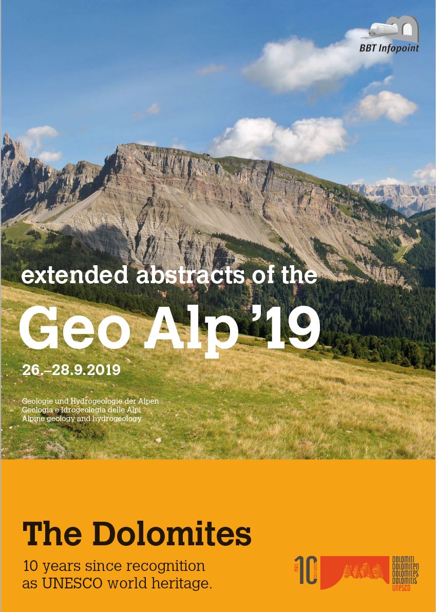
The Geological Map of the Western Dolomites is based on the new mapping and compilation of the entire sedimentary cover
of the Autonomous Province of Bozen/Bolzano. It was carried out as part of the project “Geological Base Map of South Tyrol”.
In the course of this new mapping, new lithostratigraphic terms were introduced, or conventional ones redefined, across the
boundaries of official map sheets. This was not always in line with the Italian national mapping programme CARG. New and
newly defined lithostratigraphic terms are explained below. Their position is shown in the lithostratigraphic table
Geologia
2019
New lithostratigraphic terms used in the geological map of the Western Dolomites
Abstract
Ordinare la pubblicazione

Non mancare ai nostri prossimi eventi!
Se desideri, ti mandiamo una volta al mese una nostra newsletter. Iscriviti subito!
